

Northland LiDAR acquisition project, New Zealand
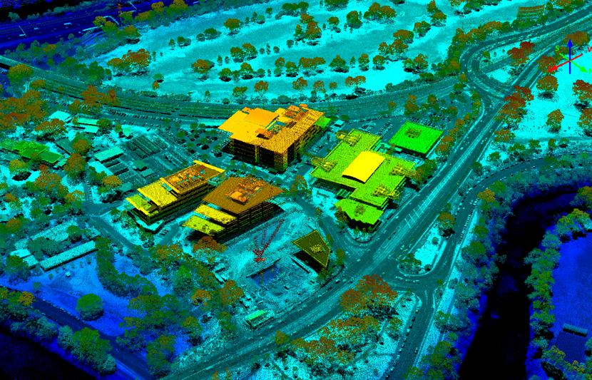
RPS has completed aerial LiDAR capture for the entire Northland Regional Council local government area—the first major LiDAR survey to be initiated since the development of the New Zealand National Aerial LiDAR Base Specification.
Spatial data for Northland
The LiDAR deliverables are forming an important foundation for the New Zealand National Elevation Dataset managed by Land Information New Zealand (LINZ), a spatial information source that supports the management of land and resources.
Data capture for the project was completed at various specifications including three points per square metre ppsm) over the majority of the designated capture area, and a higher 4ppsm specification over forestry areas.
LiDAR provides a flexible spatial data set that authorities can use to understand, monitor and plan land management and use.


Related services


Get in touch to learn more about LiDAR solutions
