Ericsson Fixed Wireless NBN Project, Australia
RPS has provided aerial LiDAR survey support to Ericsson for the rollout of key National Broadband Network (NBN) telecommunications infrastructure.
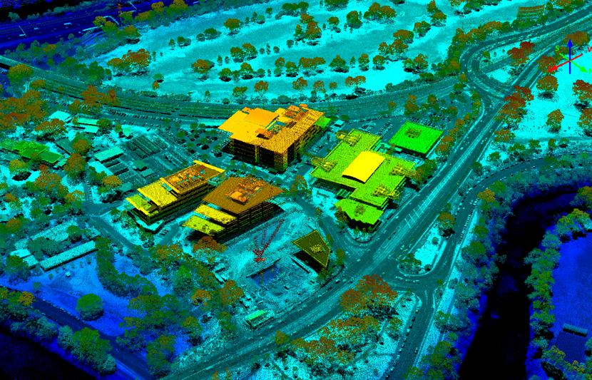
Challenge
Ericsson was engaged by NBN Co to assist in the setup and running of the National Broadband Network – specifically, where locations could not be serviced by wired connections due to their remoteness or physical limitations to backbone cables.
Ericsson’s solution was to establish a series of wireless connections using new equipment on pre-existing mobile network towers. However, the equipment used for these fixed wireless links requires direct line of sight between towers and a specific clearance around this line of sight to prevent signal interference.
Solution
Ericsson engaged RPS to capture LiDAR data and photography for the proposed connections between towers, to determine which were suitable paths, and which would require clearing of vegetation to prevent interference.
RPS assisted with this capture in almost every state and territory in Australia over a series of years and was instrumental in assisting in the setup of this portion of the NBN which provides internet connection to some of Australia’s most remote communities.