-

Labelled aerial view of multiple grave sites and plots.
-

Drone shot overlooking Whitebridge cemetery and surrounds.
-

Aerial view of Whitebridge cemetery.
-

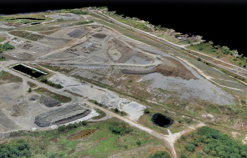
Drone shot overlooking Catherine Hill Bay and a nearby cemetery.

Drone surveying of Lake Macquarie cemeteries
RPS’ Newcastle team has used drone technology to digitally map grave locations at nine cemeteries in the Lake Macquarie region of New South Wales.
Challenge
Cemeteries are important places for any community, but many older burial sites have plots that are unknown or unmarked. Managing nine cemeteries of different sizes and eras across the city, Lake Macquarie Council was looking for a cost-effective and non-invasive method to document graves and identify the locations of unmarked interment sites.
Solution
Our Newcastle surveyors have used drone surveying to effectively capture aerial imagery and video footage at each of the sites—spatial data that is informing Council’s Conservation Management Plan (CMP) for the cemeteries.
The CMP will ensure Council’s records about interment locations, and grave sites themselves are retained and managed appropriately, and include recommendations about future management and conservation of the cemeteries.
The drone data captured by our team has been used to identify and track burial sites from West Wallsend to Wyee, with a particular focus on unmarked graves. Using the drone has allowed information to be collected without any physical disturbance to graves or impacts to cemetery operations and visitors.


Drone fly-over at Wyee Cemetery