Informed Decisions For Offshore Wind

Using Ocean Data, Visualization Systems and Data Analysis to Enhance Operations for Offshore Wind

The need for integrated ocean data systems

Operating in complex ocean environments, offshore wind developers and contractors face a breadth of planning, implementation, and operational challenges. Already limited windows of opportunity for on-site construction and operational maintenance are often reduced by changing weather and uncertainty regarding MetOcean conditions. Effectively navigating this complex network of challenges requires integrated software systems, like RPS OceansMap, to ensure success.
GettyImages-1138600700.jpg
Visit our demo site to find out how OceansMap can help you solve problems that matter.
OceansMap data visualization

OceansMap | An ocean of data. Integrated.

OceansMap is a cloud-based MetOcean data visualization system that delivers a solution combining data and tools to facilitate collaboration, provide a common operational picture and enable decision support. Designed specifically to meet the challenges of offshore environments and complex MetOcean data, the platform allows users to easily access, visualize and interpret a broad range of environmental data including historic observation and survey data, real-time observations, and model forecasts.

Screen Shot 2021-06-17 at 11.52.25 AM.png

Utilizing RPS’ proprietary Environmental Data Services (EDS), OceansMap can access global and regional public and propriety real-time and historic oceanographic, meteorological, and environmental data. EDS collects source data in disparate formats and processes it to improve the usability and standardize the format for visualization. This enables OceansMap to present a vast variety of data seamlessly integrated into a common operational picture. Our GIS-based interface presents data in an intuitive manner visualizing MetOcean, survey, and operation-specific data in a geographical map format. With all relevant data in one place, users can feel confident that decisions have been based on a complete picture.

Watch how OceansMap works

OceansMap Video Overview.PNG

Request more information

We look forward to connecting with you to explore the data possibilities with OceansMap.

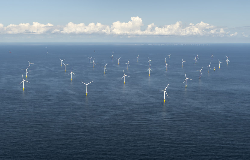
Ocean Data Management

Effective management of MetOcean and survey data is complicated by not only its vast quantity but also the disparate and disconnected data sources that are relied upon to achieve a comprehensive picture of the environments in which they operate.

Integrated data is required to execute safe, effective, and profitable offshore wind operations. Unifying the disparate sources of data into a single platform like OceansMap is the key to successful offshore operations. Using a centralized management and presentation platform to present data in an intuitive format enables data access, increases ease of analysis and interpretation and ensures that critical data sources are not missed, allowing developers and contractors more confidence in their decisions.

Public and private ocean data sources are disparate and disconnected. Integrated data is required to execute safe, effective, and profitable offshore wind operations.

Turn data into decisions

OceansMap is differentiated by its ability to turn data into decisions. With an ocean of data distilled into a common operating picture of the information relevant to developer and contractor operations, understanding the factors that affect decisions at each stage of the offshore wind lifecycle is easy. Supported by advanced data analysis tools, data, and model validation functions, and easily visualized traffic-light analysis tools, OceansMap helps users turn an ocean of data into a confident decision.

NECOFS_GFS_Traffic lights.png

Related sectors

Load more sectors »

Get in touch

Your contact information:

All fields are mandatory *

Get in touch

Your contact information:

All fields are mandatory *